| Version 103 (modified by , 15 years ago) ( diff ) |
|---|

Welcome to rasdaman,
the Scalable Multi-Dimensional Array Analytics Server!
This is the website of the open-source rasdaman ("raster data manager") project. Rasdaman extends standard relational database systems with the ability to store and retrieve multi-dimensional raster data (arrays) of unlimited size through an SQL-style query language. On such sensor, image, or statistics data appearing, e.g., in earth, space, and life science applications rasdaman allows to quickly set up array-intensive services which are distinguished by their flexibility, speed, and scalability.
Rasdaman is brought to you by the guys writing the geo raster standards, including OGC WCS and WCPS, the OGC raster query language. The petascope component of rasdaman provides service interfaces based on the OGC WCS, WCPS, WCS-T, and WPS. For several of these, rasdaman will be reference implementation. Since Apriil 2011, rasdaman is available on the OSGeo Live DVD.
Rasdaman embeds itself smoothly into PostgreSQL; further, a GDAL rasdaman driver is available, and likewise a MapServer integration (beta). A PostGIS query language integration is under work, see our planning.
EarthLook is a demonstration site showcasing rasdaman in a variety of 1-D to 4-D geo use cases.
News
- November, 2011 -- Stephan Meissl, EOX GmbH Austria, is new committer. He has been contributing substantially in particular wrt. MapServer, GDAL, and rasdaman VM issues.
- September, 2011 -- the EarthServer project has started where six 100+ TB earth science databases will be built by BGS, EOX, Jacobs University, NASA, PML, and MEEO using rasdaman, enabling distributed querying.
- July, 2011 -- rasdaman version 8.2 has been released.
- April, 2011 -- rasdaman has been incorporated in the OSGeo Live DVD.
- September 6-9, 2010 -- rasdaman has been presented at the Free and Open Source Software for Geospatial Conference (FOSS4G) 2010 in Barcelona, gaining substantial attention.
- news...
Download, Installation, Documentation
Go to the Download page for instructions. The installation steps are described on the Install page. There is ample documentation, including query and programming examples.
Support
The Large-Scale Scientific Information Services research group at Jacobs University Bremen is the core development team. Feel free to contact us!
A dedicated research spin-off company, rasdaman GmbH, provides software enhancements, expert consultancy, participation in projects, and joint ventures on a commercial basis to foster widespread use of rasdaman.
Science
Interested in the scientific background? There is a host of publications available.
PS: Greetings to all rastafarians! wha'ppen, man?
Attachments (6)
-
rasdaman-wcs-core-RI.png
(25.3 KB
) - added by 13 years ago.
OGC listing of rasdaman as WCS Core Reference Implementation
-
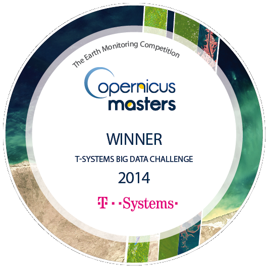
copernicus-masters-winner-emblem.png
(205.1 KB
) - added by 11 years ago.
Big Data Challenge winner in the international Copernicus Masters competition
-
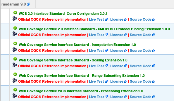
rasdaman-OGC-RI.png
(60.3 KB
) - added by 9 years ago.
rasdaman is OGC coverage reference implementation
-
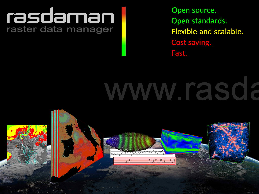
rasdaman-collage.png
(535.7 KB
) - added by 8 years ago.
Earth, Space, Life science datacubes...and beyond - with the Array Analytics Server, rasdaman
- TechConnect-Award-Logo_FREIGESTELLT.png (75.6 KB ) - added by 7 years ago.
- rasdaman-black-text+cubes.png (70.7 KB ) - added by 7 years ago.
Download all attachments as: .zip